 vesseltracker.com
 Magus
Magus
Current Status
Where is the vessel?
Magus is currently in 11 nm W of Ijmuiden, based on AIS data received about 1h ago.
Latest AIS update:
Current position: 52.52391° N, 4.29207° E (11 nm W of Ijmuiden)
Average speed (last 7 days): Loading…
Average speed (last 30 days): Loading…
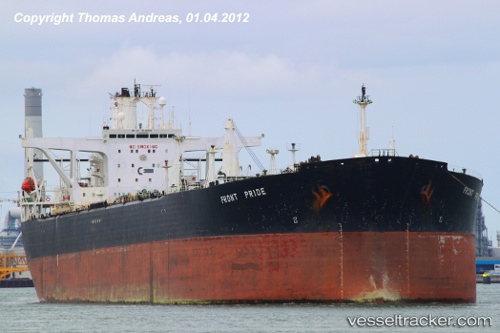
Vessel profile: Magus is a Crude Oil Tanker with dimensions 268m x 46m.
This page combines live AIS, route history, probable destination signals, nearby traffic, and port activity for practical vessel monitoring.
The current position of vessel Magus is 52.52391 lat / 4.29207 lng. Updated: 2026-05-13 23:52:29 UTCNearest reference points:
- Near Ijmuiden
- Near de Ruyter
- Near IJmuiden/Velsen
Currently sailing under the flag of Panama ![]()
Magus built in 1993 year
Deadweight:
149686 tDetails:
Live Vessel Magus Analytics (details, animations, etc.)
Recent AIS points (UTC):
2026-05-13 19:55:29 UTC · 52.51988, 4.29103 · SOG 0 kn · COG 351°2026-05-13 21:52:29 UTC · 52.52078, 4.29359 · SOG 0.4 kn · COG 308°
2026-05-13 22:58:29 UTC · 52.52350, 4.29276 · SOG 0.3 kn · COG 229°
2026-05-13 23:52:29 UTC · 52.52391, 4.29207 · SOG 0.2 kn · COG 219°