 vesseltracker.com
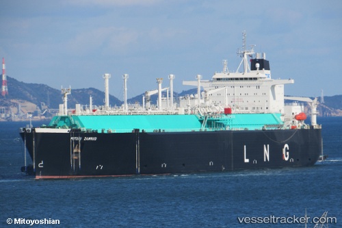
Puteri Zamrud
Current StatusWhere is the vessel?
Puteri Zamrud is currently in 40 nm W of Tindalo Oil Field, based on AIS data received about 4h ago.
Latest AIS update:
Current position: 11.21021° N, 118.23801° E (40 nm W of Tindalo Oil Field)
Average speed (last 7 days): Loading…
Average speed (last 30 days): Loading…
Vessel profile: Puteri Zamrud is a Lng Tanker with dimensions 44m x 274m.
This page combines live AIS, route history, probable destination signals, nearby traffic, and port activity for practical vessel monitoring.
The current position of vessel Puteri Zamrud is 11.21021 lat / 118.23801 lng. Updated: 2026-05-01 00:36:01 UTCNearest reference points:
- 43 nm W of Malampaya
- 70 nm W of Puerto Princesa
- 65 nm NW of Malampaya
Details:
Live Vessel Puteri Zamrud Analytics (details, animations, etc.)
Recent AIS points (UTC):
2026-05-01 00:36:01 UTC · 11.21021, 118.23801 · SOG 14.6 kn · COG 2°2026-05-01 00:36:01 UTC · 11.21021, 118.23801 · SOG 14.6 kn · COG 2°
2026-05-01 00:36:01 UTC · 11.21021, 118.23801 · SOG 14.6 kn · COG 2°
2026-05-01 00:36:01 UTC · 11.21021, 118.23801 · SOG 14.6 kn · COG 2°