 vesseltracker.com
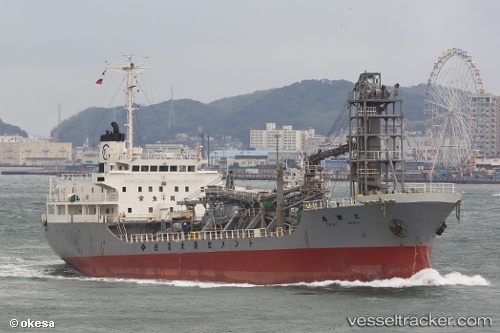
Mv.baik
Current StatusWhere is the vessel?
Mv.baik is currently in Near New Priok Port, based on AIS data received about 1h ago.
Latest AIS update:
Current position: 6.01653° S, 106.92293° E (Near New Priok Port)
Average speed (last 7 days): Loading…
Average speed (last 30 days): Loading…
Vessel profile: Mv.baik is a Cement Carrier with dimensions 16m x 93m.
This page combines live AIS, route history, probable destination signals, nearby traffic, and port activity for practical vessel monitoring.
The current position of vessel Mv.baik is -6.01653 lat / 106.92293 lng. Updated: 2026-04-29 08:22:11 UTCNearest reference points:
- Near New Priok Port
- Near Jakarta
- Near Ancol
Details:
Live Vessel Mv.baik Analytics (details, animations, etc.)
Recent AIS points (UTC):
2026-04-29 04:55:13 UTC · -6.01627, 106.92279 · SOG 0 kn · COG -1°2026-04-29 05:55:13 UTC · -6.01613, 106.92267 · SOG 0 kn · COG -1°
2026-04-29 07:43:12 UTC · -6.01650, 106.92290 · SOG 0 kn · COG -1°
2026-04-29 08:22:11 UTC · -6.01653, 106.92293 · SOG 0 kn · COG -1°