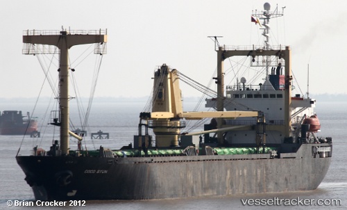
 CECELLIA
Current Status
Where is the vessel?
CECELLIA is currently in 74 nm W of Umm Lajj, based on AIS data received about 15h ago.
Latest AIS update:
Current position: 25.26802° N, 35.93769° E (74 nm W of Umm Lajj)
Average speed (last 7 days): Loading…
Average speed (last 30 days): Loading…
Vessel profile: CECELLIA is a General Cargo with dimensions m x m.
This page combines live AIS, route history, probable destination signals, nearby traffic, and port activity for practical vessel monitoring.
The current position of vessel CECELLIA is 25.26802 lat / 35.93769 lng. Updated: 2026-05-23 11:39:25 UTCNearest reference points:
- 41 nm NW of Umm Lajj
- 35 nm S of Umm Lajj
- 74 nm SW of Yanbu
Currently sailing under the flag of Sao Tome and Principe ![]()
Details:
Live Vessel CECELLIA Analytics (details, animations, etc.)
Recent AIS points (UTC):
2026-05-23 07:46:35 UTC · 25.75357, 35.54099 · SOG 9.2 kn · COG -1°2026-05-23 09:32:04 UTC · 25.53645, 35.72415 · SOG 9.3 kn · COG -1°
2026-05-23 10:12:54 UTC · 25.45158, 35.79488 · SOG 9.2 kn · COG -1°
2026-05-23 11:39:25 UTC · 25.26802, 35.93769 · SOG 9.2 kn · COG -1°