 vesseltracker.com
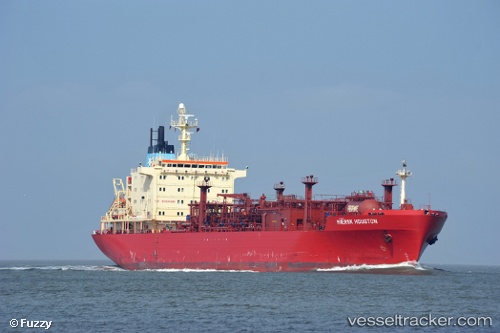
 NOOH GAS
Current Status
Where is the vessel?
NOOH GAS is currently in 21 nm NE of Mutrah, based on AIS data received about 2h ago.
Latest AIS update:
Current position: 23.94957° N, 58.74537° E (21 nm NE of Mutrah)
Average speed (last 7 days): Loading…
Average speed (last 30 days): Loading…
Vessel profile: NOOH GAS is a Lpg Tanker with dimensions m x m.
This page combines live AIS, route history, probable destination signals, nearby traffic, and port activity for practical vessel monitoring.
The current position of vessel NOOH GAS is 23.94957 lat / 58.74537 lng. Updated: 2026-05-14 06:58:41 UTCNearest reference points:
- 58 nm S of JASK
- 23 nm NE of Qalhat
- 59 nm S of Chah Bahar
Currently sailing under the flag of Botswana ![]()
Details:
Live Vessel NOOH GAS Analytics (details, animations, etc.)
Recent AIS points (UTC):
2026-05-11 04:34:00 UTC · 24.75977, 56.52401 · SOG 3.2 kn · COG 245°2026-05-11 04:34:00 UTC · 24.75977, 56.52401 · SOG 3.2 kn · COG 245°
2026-05-14 06:58:41 UTC · 23.94957, 58.74537 · SOG 11.2 kn · COG 170°
2026-05-14 06:58:41 UTC · 23.94957, 58.74537 · SOG 11.2 kn · COG 170°