 vesseltracker.com
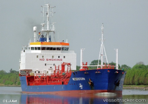
 SAMA 2
Current Status
Where is the vessel?
SAMA 2 is currently in 25 nm SW of Ras Isa Terminal, based on AIS data received about 15d ago.
Latest AIS update:
Current position: 14.89597° N, 42.37730° E (25 nm SW of Ras Isa Terminal)
Average speed (last 7 days): Loading…
Average speed (last 30 days): Loading…
Vessel profile: SAMA 2 is a Oil Products Tanker with dimensions 127m x 18m.
This page combines live AIS, route history, probable destination signals, nearby traffic, and port activity for practical vessel monitoring.
The current position of vessel SAMA 2 is 14.89597 lat / 42.37730 lng. Updated: 2026-05-02 16:44:50 UTCNearest reference points:
- 81 nm NW of As Salif
- Near Jazan Economic City
- 92 nm SW of Al Qahmah
Currently sailing under the flag of Comoros ![]()
Details:
Live Vessel SAMA 2 Analytics (details, animations, etc.)
Recent AIS points (UTC):
2026-05-02 16:44:50 UTC · 14.89597, 42.37730 · SOG 8.8 kn · COG 4°