 vesseltracker.com
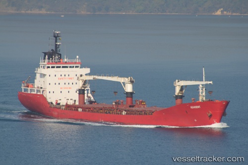
 LUCKY
LUCKY
Current Status
Where is the vessel?
LUCKY is currently in Near Casablanca, based on AIS data received about 1h ago.
Latest AIS update:
Current position: 33.72172° N, 7.64554° W (Near Casablanca)
Average speed (last 7 days): Loading…
Average speed (last 30 days): Loading…
Vessel profile: LUCKY is a General Cargo with dimensions m x m.
This page combines live AIS, route history, probable destination signals, nearby traffic, and port activity for practical vessel monitoring.
The current position of vessel LUCKY is 33.72172 lat / -7.64554 lng. Updated: 2026-05-02 11:43:15 UTCNearest reference points:
- Near Mohammedia
- 54 nm N of El Jadida
- Near Jorf Lasfar
Currently sailing under the flag of Liberia ![]()
Details:
Live Vessel LUCKY Analytics (details, animations, etc.)
Recent AIS points (UTC):
2026-05-02 08:16:09 UTC · 33.72186, -7.64459 · SOG 0.1 kn · COG 338°2026-05-02 10:10:12 UTC · 33.72169, -7.64481 · SOG 0.4 kn · COG 350°
2026-05-02 10:13:12 UTC · 33.72170, -7.64482 · SOG 0.1 kn · COG 349°
2026-05-02 11:43:15 UTC · 33.72172, -7.64554 · SOG 0.2 kn · COG 16°