 vesseltracker.com
 AISHAKAMILAH
Current Status
Where is the vessel?
AISHAKAMILAH is currently in 74 nm NE of Camar Marine Terminal, based on AIS data received about 7h ago.
Latest AIS update:
Current position: 5.65033° S, 114.04400° E (74 nm NE of Camar Marine Terminal)
Average speed (last 7 days): Loading…
Average speed (last 30 days): Loading…
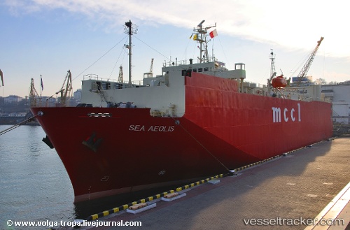
Vessel profile: AISHAKAMILAH is a Vehicles Carrier with dimensions m x m.
This page combines live AIS, route history, probable destination signals, nearby traffic, and port activity for practical vessel monitoring.
The current position of vessel AISHAKAMILAH is -5.65033 lat / 114.04400 lng. Updated: 2026-05-14 20:24:11 UTCNearest reference points:
- 76 nm N of Sumenep
- 27 nm NE of Camar Marine Terminal
- 25 nm NE of Camar Marine Terminal
Currently sailing under the flag of Indonesia ![]()
Details:
Live Vessel AISHAKAMILAH Analytics (details, animations, etc.)
Recent AIS points (UTC):
2026-05-14 16:49:03 UTC · -5.64983, 113.46767 · SOG 9.6 kn · COG 90°2026-05-14 20:24:11 UTC · -5.65033, 114.04400 · SOG 9.9 kn · COG -1°
2026-05-14 20:24:11 UTC · -5.65033, 114.04400 · SOG 9.9 kn · COG -1°
2026-05-14 20:24:11 UTC · -5.65033, 114.04400 · SOG 9.9 kn · COG -1°