 vesseltracker.com
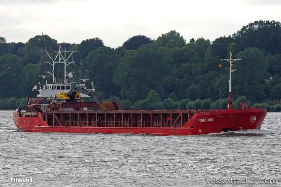
 KARIBOU
Current Status
Where is the vessel?
KARIBOU is currently in Near Zefiri, based on AIS data received about 2h ago.
Latest AIS update:
Current position: 36.70988° N, 24.46457° E (Near Zefiri)
Average speed (last 7 days): Loading…
Average speed (last 30 days): Loading…
Vessel profile: KARIBOU is a General Cargo with dimensions m x m.
This page combines live AIS, route history, probable destination signals, nearby traffic, and port activity for practical vessel monitoring.
The current position of vessel KARIBOU is 36.70988 lat / 24.46457 lng. Updated: 2026-05-17 23:38:59 UTCNearest reference points:
- 17 nm W of Milos (Adamas)
- Near Kéa (Tzia)
- Near PISO LIVADI
Currently sailing under the flag of Greece ![]()
Details:
Live Vessel KARIBOU Analytics (details, animations, etc.)
Recent AIS points (UTC):
2026-05-17 19:32:56 UTC · 36.70989, 24.46454 · SOG 0 kn · COG 322°2026-05-17 21:53:55 UTC · 36.70987, 24.46456 · SOG 0 kn · COG 322°
2026-05-17 23:05:56 UTC · 36.70987, 24.46457 · SOG 0 kn · COG 322°
2026-05-17 23:38:59 UTC · 36.70988, 24.46457 · SOG 0 kn · COG 322°