 vesseltracker.com
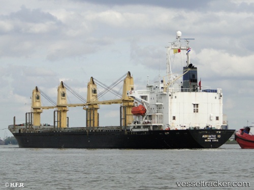
 PRINCESS BANA
Current Status
Where is the vessel?
PRINCESS BANA is currently in Near BAKIRKOY, based on AIS data received less than 1h ago.
Latest AIS update:
Current position: 40.95503° N, 28.89382° E (Near BAKIRKOY)
Average speed (last 7 days): Loading…
Average speed (last 30 days): Loading…
Vessel profile: PRINCESS BANA is a Bulk Carrier with dimensions 158m x 25m.
This page combines live AIS, route history, probable destination signals, nearby traffic, and port activity for practical vessel monitoring.
The current position of vessel PRINCESS BANA is 40.95503 lat / 28.89382 lng. Updated: 2026-05-13 22:42:05 UTCNearest reference points:
- Near BAKIRKOY
- Near ZEYTINBURNU
- Near Davutpasa
Currently sailing under the flag of St.Kitts and Nevis ![]()
PRINCESS BANA built in 1994 year
Deadweight:
22059 tDetails:
Live Vessel PRINCESS BANA Analytics (details, animations, etc.)
Recent AIS points (UTC):
2026-05-13 19:15:16 UTC · 40.95477, 28.89420 · SOG 0.1 kn · COG 51°2026-05-13 20:16:05 UTC · 40.95470, 28.89440 · SOG 0.3 kn · COG 50°
2026-05-13 21:33:02 UTC · 40.95465, 28.89432 · SOG 0.3 kn · COG 36°
2026-05-13 22:42:05 UTC · 40.95503, 28.89382 · SOG 0 kn · COG 60°