 vesseltracker.com
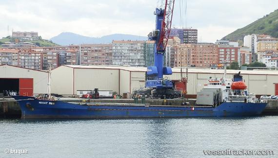
 BERS
BERS
Current Status
Where is the vessel?
BERS is currently in Near Batumi, based on AIS data received less than 1h ago.
Latest AIS update:
Current position: 41.68028° N, 41.67386° E (Near Batumi)
Average speed (last 7 days): Loading…
Average speed (last 30 days): Loading…
Vessel profile: BERS is a Cargo with dimensions m x m.
This page combines live AIS, route history, probable destination signals, nearby traffic, and port activity for practical vessel monitoring.
The current position of vessel BERS is 41.68028 lat / 41.67386 lng. Updated: 2026-05-14 05:03:52 UTCNearest reference points:
- Near Batumi
- Near Sup'sa
- Near Poti
Currently sailing under the flag of Nauru ![]()
Details:
Live Vessel BERS Analytics (details, animations, etc.)
Recent AIS points (UTC):
2026-05-14 01:42:45 UTC · 41.68051, 41.67386 · SOG 0 kn · COG 62°2026-05-14 02:56:04 UTC · 41.68047, 41.67389 · SOG 0 kn · COG 55°
2026-05-14 03:57:49 UTC · 41.68053, 41.67375 · SOG 0 kn · COG 62°
2026-05-14 05:03:52 UTC · 41.68028, 41.67386 · SOG 0 kn · COG 43°