 vesseltracker.com
 FREESIA
Current Status
Where is the vessel?
FREESIA is currently in Near Vila do Conde Pt/Barcarena, based on AIS data received about 1h ago.
Latest AIS update:
Current position: 1.46281° S, 48.75637° W (Near Vila do Conde Pt/Barcarena)
Average speed (last 7 days): Loading…
Average speed (last 30 days): Loading…
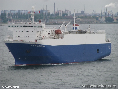
Vessel profile: FREESIA is a Livestock Carrier with dimensions 20m x 100m.
This page combines live AIS, route history, probable destination signals, nearby traffic, and port activity for practical vessel monitoring.
The current position of vessel FREESIA is -1.46281 lat / -48.75637 lng. Updated: 2026-04-30 22:18:27 UTCNearest reference points:
- Near Belem
- 55 nm N of Tucuma
- 70 nm N of Tucuma
Currently sailing under the flag of Panama ![]()
FREESIA built in 1993 year
Deadweight:
2402 tDetails:
Live Vessel FREESIA Analytics (details, animations, etc.)
Recent AIS points (UTC):
2026-04-30 19:21:26 UTC · -1.46254, -48.75636 · SOG 0 kn · COG 205°2026-04-30 20:15:29 UTC · -1.46255, -48.75636 · SOG 0 kn · COG 208°
2026-04-30 22:09:29 UTC · -1.46276, -48.75633 · SOG 0 kn · COG 217°
2026-04-30 22:18:27 UTC · -1.46281, -48.75637 · SOG 0 kn · COG 214°