 vesseltracker.com
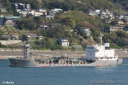
 NACC COGIO 1
Current Status
Where is the vessel?
NACC COGIO 1 is currently in Near Agriá, based on AIS data received about 1h ago.
Latest AIS update:
Current position: 39.35067° N, 22.98514° E (Near Agriá)
Average speed (last 7 days): Loading…
Average speed (last 30 days): Loading…
Vessel profile: NACC COGIO 1 is a Cargo with dimensions m x m.
This page combines live AIS, route history, probable destination signals, nearby traffic, and port activity for practical vessel monitoring.
The current position of vessel NACC COGIO 1 is 39.35067 lat / 22.98514 lng. Updated: 2026-05-14 16:05:44 UTCNearest reference points:
- Near Agriá
- Near Volos
- Near Amaliápolis
Currently sailing under the flag of Panama ![]()
Details:
Live Vessel NACC COGIO 1 Analytics (details, animations, etc.)
Recent AIS points (UTC):
2026-05-14 13:29:45 UTC · 39.35066, 22.98513 · SOG 0 kn · COG 92°2026-05-14 13:53:43 UTC · 39.35065, 22.98516 · SOG 0 kn · COG 92°
2026-05-14 15:59:43 UTC · 39.35063, 22.98514 · SOG 0 kn · COG 283°
2026-05-14 16:05:44 UTC · 39.35067, 22.98514 · SOG 0 kn · COG 283°