 vesseltracker.com
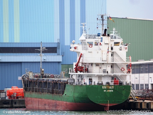
 MB MELITA
Current Status
Where is the vessel?
MB MELITA is currently in 31 nm W of Saint Lawrence, based on AIS data received about 2h ago.
Latest AIS update:
Current position: 35.91208° N, 13.58793° E (31 nm W of Saint Lawrence)
Average speed (last 7 days): Loading…
Average speed (last 30 days): Loading…
Vessel profile: MB MELITA is a General Cargo with dimensions m x m.
This page combines live AIS, route history, probable destination signals, nearby traffic, and port activity for practical vessel monitoring.
The current position of vessel MB MELITA is 35.91208 lat / 13.58793 lng. Updated: 2026-05-15 01:17:54 UTCNearest reference points:
- Near CIRKEWWA
- Near Saint Julians
- Near Sliema
Currently sailing under the flag of Malta ![]()
Details:
Live Vessel MB MELITA Analytics (details, animations, etc.)
Recent AIS points (UTC):
2026-05-14 21:58:54 UTC · 35.79772, 14.17999 · SOG 9.4 kn · COG 274°2026-05-14 22:36:23 UTC · 35.81314, 14.06760 · SOG 8.8 kn · COG 284°
2026-05-14 23:57:04 UTC · 35.86403, 13.82879 · SOG 9.2 kn · COG 285°
2026-05-15 01:17:54 UTC · 35.91208, 13.58793 · SOG 9.3 kn · COG 284°