 vesseltracker.com
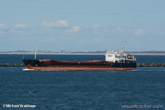
 Berat
Berat
Current Status
Where is the vessel?
Berat is currently in Near Boma, based on AIS data received about 1h ago.
Latest AIS update:
Current position: 5.86007° S, 13.05476° E (Near Boma)
Average speed (last 7 days): Loading…
Average speed (last 30 days): Loading…
Vessel profile: Berat is a General Cargo Ship with dimensions 74m x 14m.
This page combines live AIS, route history, probable destination signals, nearby traffic, and port activity for practical vessel monitoring.
The current position of vessel Berat is -5.86007 lat / 13.05476 lng. Updated: 2026-05-14 11:38:23 UTCNearest reference points:
- Near SOYO
- Near Futila Terminal
- 11 nm W of Cabinda
Currently sailing under the flag of Panama ![]()
Details:
Live Vessel Berat Analytics (details, animations, etc.)
Recent AIS points (UTC):
2026-05-14 08:23:44 UTC · -5.86000, 13.05480 · SOG 0 kn · COG -1°2026-05-14 10:11:54 UTC · -5.86008, 13.05474 · SOG 0 kn · COG -1°
2026-05-14 10:42:24 UTC · -5.86011, 13.05475 · SOG 0 kn · COG -1°
2026-05-14 11:38:23 UTC · -5.86007, 13.05476 · SOG 0 kn · COG -1°