 vesseltracker.com
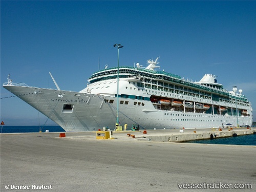
 Marella Discovery
Current Status
Where is the vessel?
Marella Discovery is currently in 22 nm W of Megálon Livádion, based on AIS data received about 2h ago.
Latest AIS update:
Current position: 37.06023° N, 23.98012° E (22 nm W of Megálon Livádion)
Average speed (last 7 days): Loading…
Average speed (last 30 days): Loading…
Vessel profile: Marella Discovery is a Cruise Ship with dimensions 264m x 32m.
This page combines live AIS, route history, probable destination signals, nearby traffic, and port activity for practical vessel monitoring.
The current position of vessel Marella Discovery is 37.06023 lat / 23.98012 lng. Updated: 2026-05-15 19:29:08 UTCNearest reference points:
- 17 nm W of Milos (Adamas)
- Near Kéa (Tzia)
- Near Methana
Currently sailing under the flag of Malta ![]()
Marella Discovery built in 1996 year
Deadweight:
5200 tDetails:
Live Vessel Marella Discovery Analytics (details, animations, etc.)
Recent AIS points (UTC):
2026-05-15 17:04:02 UTC · 37.55696, 23.71689 · SOG 14.1 kn · COG 173°2026-05-15 18:16:50 UTC · 37.26673, 23.75694 · SOG 14.4 kn · COG 174°
2026-05-15 19:20:08 UTC · 37.07943, 23.94461 · SOG 13.6 kn · COG 127°
2026-05-15 19:29:08 UTC · 37.06023, 23.98012 · SOG 13.7 kn · COG 125°