 vesseltracker.com
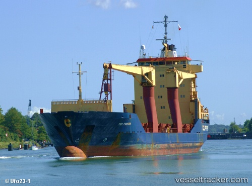
Saviour
Current StatusWhere is the vessel?
Saviour is currently in Near Jurong/Singapore, based on AIS data received about 1d ago.
Latest AIS update:
Current position: 1.30824° N, 103.71385° E (Near Jurong/Singapore)
Average speed (last 7 days): Loading…
Average speed (last 30 days): Loading…
Vessel profile: Saviour is a General Cargo Ship with dimensions 19m x 101m.
This page combines live AIS, route history, probable destination signals, nearby traffic, and port activity for practical vessel monitoring.
The current position of vessel Saviour is 1.30824 lat / 103.71385 lng. Updated: 2026-04-28 16:04:43 UTCNearest reference points:
- Near Pulau Ayer Chawan
- Near Jurong/Singapore
- Near PASIR PANJANG Terminal
Details:
Live Vessel Saviour Analytics (details, animations, etc.)
Recent AIS points (UTC):
2026-04-28 16:04:43 UTC · 1.30824, 103.71385 · SOG 6.5 kn · COG -1°2026-04-28 16:04:43 UTC · 1.30824, 103.71385 · SOG 6.5 kn · COG -1°
2026-04-28 16:04:43 UTC · 1.30824, 103.71385 · SOG 6.5 kn · COG -1°
2026-04-28 16:04:43 UTC · 1.30824, 103.71385 · SOG 6.5 kn · COG -1°