 vesseltracker.com
 LIWA
LIWA
Current Status
Where is the vessel?
LIWA is currently in 29 nm W of Soroosh (Cyrus) Terminal, based on AIS data received about 17h ago.
Latest AIS update:
Current position: 28.90167° N, 48.93500° E (29 nm W of Soroosh (Cyrus) Terminal)
Average speed (last 7 days): Loading…
Average speed (last 30 days): Loading…
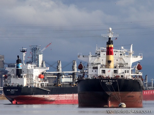
Vessel profile: LIWA is a Bulk Carrier with dimensions m x m.
This page combines live AIS, route history, probable destination signals, nearby traffic, and port activity for practical vessel monitoring.
The current position of vessel LIWA is 28.90167 lat / 48.93500 lng. Updated: 2026-05-13 18:59:52 UTCNearest reference points:
- 25 nm W of Soroosh (Cyrus) Terminal
- 19 nm SW of Soroosh (Cyrus) Terminal
- Near Mina Al Zour
Currently sailing under the flag of Saint Kitts and Nevis ![]()
Details:
Live Vessel LIWA Analytics (details, animations, etc.)
Recent AIS points (UTC):
2026-05-13 18:59:52 UTC · 28.90167, 48.93500 · SOG 7 kn · COG -1°2026-05-13 18:59:52 UTC · 28.90167, 48.93500 · SOG 7 kn · COG -1°
2026-05-13 18:59:52 UTC · 28.90167, 48.93500 · SOG 7 kn · COG -1°
2026-05-13 18:59:52 UTC · 28.90167, 48.93500 · SOG 7 kn · COG -1°