 vesseltracker.com
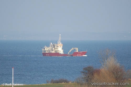
 GRAND EXPLORER
Current Status
Where is the vessel?
GRAND EXPLORER is currently in 11 nm N of Ny-Ålesund, based on AIS data received about 1h ago.
Latest AIS update:
Current position: 79.11900° N, 11.88783° E (11 nm N of Ny-Ålesund)
Average speed (last 7 days): Loading…
Average speed (last 30 days): Loading…
Vessel profile: GRAND EXPLORER is a Buoy-laying Vessel with dimensions m x m.
This page combines live AIS, route history, probable destination signals, nearby traffic, and port activity for practical vessel monitoring.
The current position of vessel GRAND EXPLORER is 79.11900 lat / 11.88783 lng. Updated: 2026-05-02 19:57:53 UTCCurrently sailing under the flag of Panama ![]()
Details:
Live Vessel GRAND EXPLORER Analytics (details, animations, etc.)
Recent AIS points (UTC):
2026-05-02 16:27:52 UTC · 79.11922, 11.88792 · SOG 0 kn · COG 151°2026-05-02 18:15:52 UTC · 79.11903, 11.88628 · SOG 0 kn · COG 95°
2026-05-02 19:27:53 UTC · 79.11902, 11.88648 · SOG 0 kn · COG 101°
2026-05-02 19:57:53 UTC · 79.11900, 11.88783 · SOG 0.5 kn · COG 124°