 vesseltracker.com
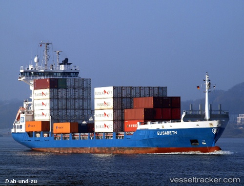
 AEGINA VENTURE
Current Status
Where is the vessel?
AEGINA VENTURE is currently in Near Haifa, based on AIS data received about 1h ago.
Latest AIS update:
Current position: 32.81256° N, 35.03640° E (Near Haifa)
Average speed (last 7 days): Loading…
Average speed (last 30 days): Loading…
Vessel profile: AEGINA VENTURE is a Container Ship with dimensions m x m.
This page combines live AIS, route history, probable destination signals, nearby traffic, and port activity for practical vessel monitoring.
The current position of vessel AEGINA VENTURE is 32.81256 lat / 35.03640 lng. Updated: 2026-05-15 19:27:10 UTCNearest reference points:
- Near Haifa
- 22 nm W of Haifa Granaries
- Near DBAIYEH
Currently sailing under the flag of Sao Tome and Principe ![]()
Details:
Live Vessel AEGINA VENTURE Analytics (details, animations, etc.)
Recent AIS points (UTC):
2026-05-15 17:04:51 UTC · 32.81257, 35.03637 · SOG 0 kn · COG 342°2026-05-15 18:16:50 UTC · 32.81256, 35.03637 · SOG 0 kn · COG 342°
2026-05-15 19:18:10 UTC · 32.81256, 35.03637 · SOG 0 kn · COG 342°
2026-05-15 19:27:10 UTC · 32.81256, 35.03640 · SOG 0 kn · COG 342°