 vesseltracker.com
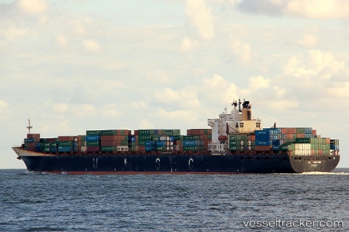
 AL RAYYAN
Current Status
Where is the vessel?
AL RAYYAN is currently in Near RAS LAFFAN, based on AIS data received about 2h ago.
Latest AIS update:
Current position: 25.83784° N, 51.76015° E (Near RAS LAFFAN)
Average speed (last 7 days): Loading…
Average speed (last 30 days): Loading…
Vessel profile: AL RAYYAN is a LNG Tanker with dimensions 46m x 296m.
This page combines live AIS, route history, probable destination signals, nearby traffic, and port activity for practical vessel monitoring.
The current position of vessel AL RAYYAN is 25.83784 lat / 51.76015 lng. Updated: 2026-05-14 06:31:05 UTCNearest reference points:
- Near RAS LAFFAN
- 21 nm NE of Halul Island
- Near KHALIFA BIN SALMAN
Currently sailing under the flag of Marshall Islands ![]()
AL RAYYAN built in 1997 year
Deadweight:
72430 tDetails:
Live Vessel AL RAYYAN Analytics (details, animations, etc.)
Recent AIS points (UTC):
2026-05-13 18:11:41 UTC · 25.83621, 51.75844 · SOG 0.1 kn · COG 345°2026-05-14 06:10:33 UTC · 25.83766, 51.76035 · SOG 0 kn · COG 295°
2026-05-14 06:31:05 UTC · 25.83784, 51.76015 · SOG 0.4 kn · COG 294°
2026-05-14 06:31:05 UTC · 25.83784, 51.76015 · SOG 0.4 kn · COG 294°