 vesseltracker.com
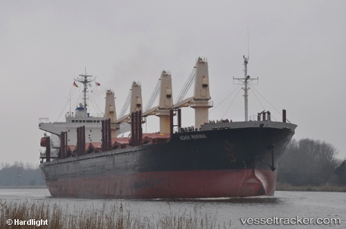
Worship Light
Current StatusWhere is the vessel?
Worship Light is currently in Near Seghe, based on AIS data received less than 1h ago.
Latest AIS update:
Current position: 8.53452° S, 157.87534° E (Near Seghe)
Average speed (last 7 days): Loading…
Average speed (last 30 days): Loading…
Vessel profile: Worship Light is a Bulk Carrier with dimensions 27m x 171m.
This page combines live AIS, route history, probable destination signals, nearby traffic, and port activity for practical vessel monitoring.
The current position of vessel Worship Light is -8.53452 lat / 157.87534 lng. Updated: 2026-05-16 03:45:53 UTCDetails:
Live Vessel Worship Light Analytics (details, animations, etc.)
Recent AIS points (UTC):
2026-05-15 23:20:43 UTC · -8.81173, 157.89725 · SOG 4.2 kn · COG 287°2026-05-16 01:36:44 UTC · -8.57493, 157.88329 · SOG 6.4 kn · COG 345°
2026-05-16 02:12:23 UTC · -8.53540, 157.87733 · SOG 0.6 kn · COG 6°
2026-05-16 03:45:53 UTC · -8.53452, 157.87534 · SOG 0 kn · COG 88°