 vesseltracker.com
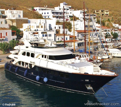
 My Blue Breeze
Current Status
Where is the vessel?
My Blue Breeze is currently in Near Turnberry, based on AIS data received about 276d ago.
Latest AIS update:
Current position: 55.29977° N, 5.10275° W (Near Turnberry)
Average speed (last 7 days): Loading…
Average speed (last 30 days): Loading…
Vessel profile: My Blue Breeze is a Service Ship with dimensions 41m x 9m.
This page combines live AIS, route history, probable destination signals, nearby traffic, and port activity for practical vessel monitoring.
The current position of vessel My Blue Breeze is 55.29977 lat / -5.10275 lng. Updated: 2025-08-10 09:14:11 UTCNearest reference points:
- Near Turnberry
- Near Shiskine
- Near Girvan
Currently sailing under the flag of United Kingdom ![]()
My Blue Breeze built in 2003 year
Deadweight:
450 tDetails:
Live Vessel My Blue Breeze Analytics (details, animations, etc.)
Recent AIS points (UTC):
2025-08-10 09:14:11 UTC · 55.29977, -5.10275 · SOG 5.2 kn · COG -1°