 vesseltracker.com
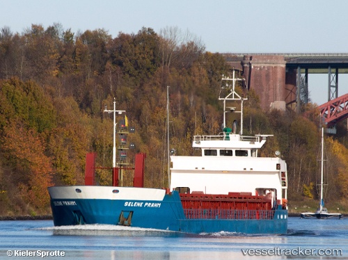
 Selene Prahm
Current Status
Where is the vessel?
Selene Prahm is currently in Near Mandal, based on AIS data received about 1h ago.
Latest AIS update:
Current position: 57.93294° N, 7.44792° E (Near Mandal)
Average speed (last 7 days): Loading…
Average speed (last 30 days): Loading…
Vessel profile: Selene Prahm is a Multi Purpose Carrier with dimensions 75m x 12m.
This page combines live AIS, route history, probable destination signals, nearby traffic, and port activity for practical vessel monitoring.
The current position of vessel Selene Prahm is 57.93294 lat / 7.44792 lng. Updated: 2026-05-15 17:53:10 UTCNearest reference points:
- Near Kristiansand
- Near Kirkehamn
- Near Åna-Sira
Currently sailing under the flag of Germany ![]()
Selene Prahm built in 1994 year
Deadweight:
2422 tDetails:
Live Vessel Selene Prahm Analytics (details, animations, etc.)
Recent AIS points (UTC):
2026-05-15 13:29:40 UTC · 57.91992, 8.53341 · SOG 7.8 kn · COG 262°2026-05-15 15:33:10 UTC · 57.91093, 8.02664 · SOG 8.2 kn · COG 274°
2026-05-15 16:35:59 UTC · 57.92176, 7.76621 · SOG 7.6 kn · COG 276°
2026-05-15 17:53:10 UTC · 57.93294, 7.44792 · SOG 7.5 kn · COG 276°