 vesseltracker.com
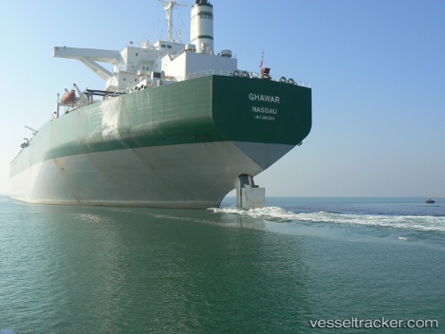
 MT. SHELIF
Current Status
Where is the vessel?
MT. SHELIF is currently in 10 nm S of Abu Musa, based on AIS data received about 1h ago.
Latest AIS update:
Current position: 25.70772° N, 55.07562° E (10 nm S of Abu Musa)
Average speed (last 7 days): Loading…
Average speed (last 30 days): Loading…
Vessel profile: MT. SHELIF is a Crude Oil Tanker with dimensions m x m.
This page combines live AIS, route history, probable destination signals, nearby traffic, and port activity for practical vessel monitoring.
The current position of vessel MT. SHELIF is 25.70772 lat / 55.07562 lng. Updated: 2026-04-27 19:39:11 UTCNearest reference points:
- 17 nm NW of Free Port
- Near Sharjah
- Near Free Port
Details:
Live Vessel MT. SHELIF Analytics (details, animations, etc.)
Recent AIS points (UTC):
2026-04-27 16:36:10 UTC · 25.71032, 55.08063 · SOG 0.1 kn · COG 254°2026-04-27 17:48:11 UTC · 25.70744, 55.07747 · SOG 0.1 kn · COG 357°
2026-04-27 19:27:11 UTC · 25.70778, 55.07549 · SOG 0 kn · COG 17°
2026-04-27 19:39:11 UTC · 25.70772, 55.07562 · SOG 0 kn · COG 17°