 vesseltracker.com
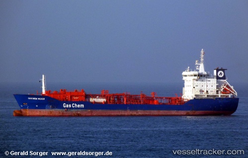
 ENIGMA
Current Status
Where is the vessel?
ENIGMA is currently in Near Evyap Port /Kocaeli, based on AIS data received less than 1h ago.
Latest AIS update:
Current position: 40.76965° N, 29.68220° E (Near Evyap Port /Kocaeli)
Average speed (last 7 days): Loading…
Average speed (last 30 days): Loading…
Vessel profile: ENIGMA is a Lpg Tanker with dimensions m x m.
This page combines live AIS, route history, probable destination signals, nearby traffic, and port activity for practical vessel monitoring.
The current position of vessel ENIGMA is 40.76965 lat / 29.68220 lng. Updated: 2026-05-15 18:17:14 UTCNearest reference points:
- Near YARIMCA
- Near KORFEZ
- Near Diliskelesi
Currently sailing under the flag of Liberia ![]()
Details:
Live Vessel ENIGMA Analytics (details, animations, etc.)
Recent AIS points (UTC):
2026-05-15 14:00:45 UTC · 40.76976, 29.68244 · SOG 0 kn · COG 280°2026-05-15 16:09:43 UTC · 40.77024, 29.68245 · SOG 0 kn · COG 249°
2026-05-15 17:00:43 UTC · 40.76987, 29.68237 · SOG 0 kn · COG 276°
2026-05-15 18:17:14 UTC · 40.76965, 29.68220 · SOG 0 kn · COG 307°