 vesseltracker.com
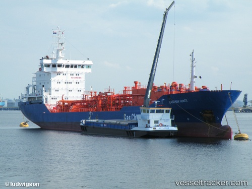
 Huntegas
Current Status
Where is the vessel?
Huntegas is currently in 13 nm N of Miramar, based on AIS data received about 2h ago.
Latest AIS update:
Current position: 22.53193° N, 97.78517° W (13 nm N of Miramar)
Average speed (last 7 days): Loading…
Average speed (last 30 days): Loading…
Vessel profile: Huntegas is a Lpg Tanker with dimensions 116m x 117m.
This page combines live AIS, route history, probable destination signals, nearby traffic, and port activity for practical vessel monitoring.
The current position of vessel Huntegas is 22.53193 lat / -97.78517 lng. Updated: 2026-05-15 01:23:33 UTCNearest reference points:
- 25 nm E of Tuxpan
Currently sailing under the flag of Liberia ![]()
Huntegas built in 2000 year
Deadweight:
5778 tDetails:
Live Vessel Huntegas Analytics (details, animations, etc.)
Recent AIS points (UTC):
2026-05-14 22:05:33 UTC · 22.53197, -97.78512 · SOG 0.1 kn · COG 111°2026-05-14 22:11:33 UTC · 22.53195, -97.78513 · SOG 0.2 kn · COG 112°
2026-05-15 00:20:33 UTC · 22.53197, -97.78515 · SOG 0.2 kn · COG 116°
2026-05-15 01:23:33 UTC · 22.53193, -97.78517 · SOG 0.1 kn · COG 112°