 vesseltracker.com
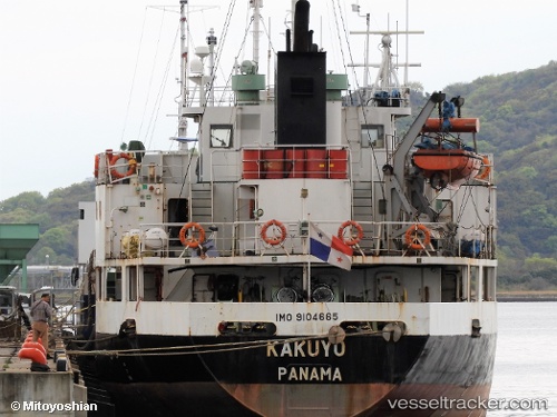
 Jinhua 11
Current Status
Where is the vessel?
Jinhua 11 is currently in Near Hampyeong-gun, based on AIS data received about 9d ago.
Latest AIS update:
Current position: 35.93915° N, 126.45663° E (Near Hampyeong-gun)
Average speed (last 7 days): Loading…
Average speed (last 30 days): Loading…
Vessel profile: Jinhua 11 is a General Cargo Ship with dimensions 79m x 12m.
This page combines live AIS, route history, probable destination signals, nearby traffic, and port activity for practical vessel monitoring.
The current position of vessel Jinhua 11 is 35.93915 lat / 126.45663 lng. Updated: 2026-05-09 07:43:48 UTCNearest reference points:
- Near Hampyeong-gun
- Near Janghang/Seocheon-gun
- Near WIDO
Currently sailing under the flag of Panama ![]()
Details:
Live Vessel Jinhua 11 Analytics (details, animations, etc.)
Recent AIS points (UTC):
2026-05-09 07:43:48 UTC · 35.93915, 126.45663 · SOG 0 kn · COG 271°2026-05-09 07:43:48 UTC · 35.93915, 126.45663 · SOG 0 kn · COG 271°
2026-05-09 07:43:48 UTC · 35.93915, 126.45663 · SOG 0 kn · COG 271°
2026-05-09 07:43:48 UTC · 35.93915, 126.45663 · SOG 0 kn · COG 271°