 vesseltracker.com
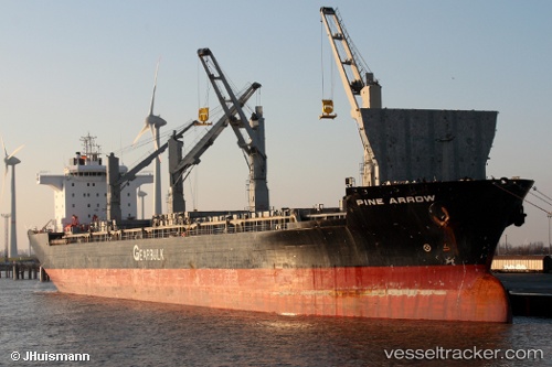
 Pine Arrow
Current Status
Where is the vessel?
Pine Arrow is currently in Near Callao, based on AIS data received less than 1h ago.
Latest AIS update:
Current position: 11.99398° S, 77.21715° W (Near Callao)
Average speed (last 7 days): Loading…
Average speed (last 30 days): Loading…
Vessel profile: Pine Arrow is a Multi Purpose Carrier with dimensions 190m x 31m.
This page combines live AIS, route history, probable destination signals, nearby traffic, and port activity for practical vessel monitoring.
The current position of vessel Pine Arrow is -11.99398 lat / -77.21715 lng. Updated: 2026-05-14 16:48:19 UTCNearest reference points:
- Near Callao
- 43 nm SW of Barranca
- 125 nm SW of Supe Bay
Currently sailing under the flag of Bahamas ![]()
Pine Arrow built in 1996 year
Deadweight:
48041 tDetails:
Live Vessel Pine Arrow Analytics (details, animations, etc.)
Recent AIS points (UTC):
2026-05-14 13:37:34 UTC · -12.04803, -77.14576 · SOG 0 kn · COG 94°2026-05-14 14:15:48 UTC · -12.04336, -77.18058 · SOG 6.8 kn · COG 290°
2026-05-14 16:21:24 UTC · -11.99402, -77.21721 · SOG 0.5 kn · COG 132°
2026-05-14 16:48:19 UTC · -11.99398, -77.21715 · SOG 0.4 kn · COG 136°