 vesseltracker.com
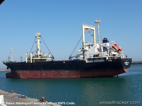
 AMALI
AMALI
Current Status
Where is the vessel?
AMALI is currently in Near AL ADABIYAH, based on AIS data received about 1h ago.
Latest AIS update:
Current position: 29.85833° N, 32.53667° E (Near AL ADABIYAH)
Average speed (last 7 days): Loading…
Average speed (last 30 days): Loading…
Vessel profile: AMALI is a General Cargo with dimensions m x m.
This page combines live AIS, route history, probable destination signals, nearby traffic, and port activity for practical vessel monitoring.
The current position of vessel AMALI is 29.85833 lat / 32.53667 lng. Updated: 2026-05-15 00:54:28 UTCNearest reference points:
- Near Bur Ibrahim
- Near SUEZ PORT
- Near AL ADABIYAH
Currently sailing under the flag of Guinea ![]()
Details:
Live Vessel AMALI Analytics (details, animations, etc.)
Recent AIS points (UTC):
2026-05-14 21:13:43 UTC · 29.85833, 32.53667 · SOG 0 kn · COG -1°2026-05-14 22:40:14 UTC · 29.85833, 32.53667 · SOG 0 kn · COG -1°
2026-05-14 23:51:48 UTC · 29.85833, 32.53667 · SOG 0 kn · COG -1°
2026-05-15 00:54:28 UTC · 29.85833, 32.53667 · SOG 0 kn · COG -1°