 vesseltracker.com
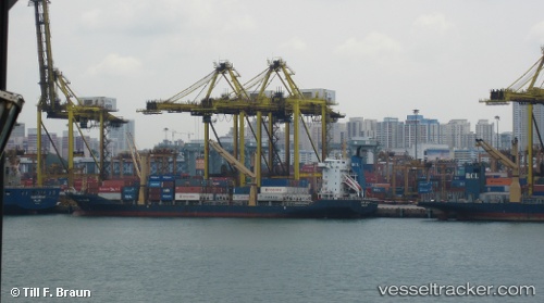
Danu Bhum
Current StatusWhere is the vessel?
Danu Bhum is currently in 16 nm W of Belanak Terminal, based on AIS data received about 112d ago.
Latest AIS update:
Current position: 4.21981° N, 105.96758° E (16 nm W of Belanak Terminal)
Average speed (last 7 days): Loading…
Average speed (last 30 days): Loading…
Vessel profile: Danu Bhum is a Container Ship with dimensions 23m x 147m.
This page combines live AIS, route history, probable destination signals, nearby traffic, and port activity for practical vessel monitoring.
The current position of vessel Danu Bhum is 4.21981 lat / 105.96758 lng. Updated: 2026-01-21 08:44:44 UTCNearest reference points:
- 30 nm SW of Belanak Terminal
- 26 nm E of Belida Terminal
- 39 nm SE of Belida Terminal
Details:
Live Vessel Danu Bhum Analytics (details, animations, etc.)
Recent AIS points (UTC):
2026-01-21 08:44:44 UTC · 4.21981, 105.96758 · SOG 13.2 kn · COG 26°