 vesseltracker.com
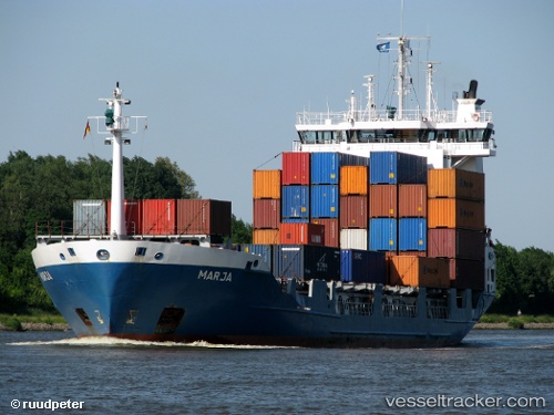
 CARIBE VOYAGER
Current Status
Where is the vessel?
CARIBE VOYAGER is currently in 45 nm N of Habana, based on AIS data received about 1h ago.
Latest AIS update:
Current position: 23.87333° N, 82.24833° W (45 nm N of Habana)
Average speed (last 7 days): Loading…
Average speed (last 30 days): Loading…
Vessel profile: CARIBE VOYAGER is a Container Ship with dimensions m x m.
This page combines live AIS, route history, probable destination signals, nearby traffic, and port activity for practical vessel monitoring.
The current position of vessel CARIBE VOYAGER is 23.87333 lat / -82.24833 lng. Updated: 2026-05-15 13:45:02 UTCNearest reference points:
- 40 nm S of Florida Straits
- Near ALAMEDA DEL SIBONEY
- Near Key West
Currently sailing under the flag of Antigua and Barbuda ![]()
Details:
Live Vessel CARIBE VOYAGER Analytics (details, animations, etc.)
Recent AIS points (UTC):
2026-05-15 10:54:02 UTC · 24.21333, -81.70500 · SOG 12 kn · COG -1°2026-05-15 11:27:04 UTC · 24.14500, -81.80500 · SOG 12 kn · COG -1°
2026-05-15 13:45:02 UTC · 23.87333, -82.24833 · SOG 13 kn · COG -1°
2026-05-15 13:45:02 UTC · 23.87333, -82.24833 · SOG 13 kn · COG -1°