 vesseltracker.com
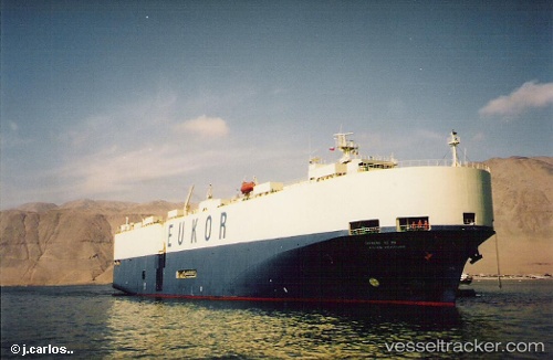
Glovis Prime
Current StatusWhere is the vessel?
Glovis Prime is currently in 16 nm N of Mardyck, based on AIS data received less than 1h ago.
Latest AIS update:
Current position: 51.25763° N, 2.10010° E (16 nm N of Mardyck)
Average speed (last 7 days): Loading…
Average speed (last 30 days): Loading…
Vessel profile: Glovis Prime is a Vehicles Carrier with dimensions 31m x 184m.
This page combines live AIS, route history, probable destination signals, nearby traffic, and port activity for practical vessel monitoring.
The current position of vessel Glovis Prime is 51.25763 lat / 2.10010 lng. Updated: 2026-05-02 12:00:55 UTCNearest reference points:
- 15 nm E of RAMSGATE
- Near Dunkerque
- 14 nm SE of RAMSGATE
Details:
Live Vessel Glovis Prime Analytics (details, animations, etc.)
Recent AIS points (UTC):
2026-05-02 07:51:17 UTC · 50.55972, 1.08350 · SOG 13.4 kn · COG 51°2026-05-02 09:30:28 UTC · 50.82975, 1.44580 · SOG 13.3 kn · COG 19°
2026-05-02 10:41:28 UTC · 51.05802, 1.68108 · SOG 15.1 kn · COG 64°
2026-05-02 12:00:55 UTC · 51.25763, 2.10010 · SOG 13.8 kn · COG 358°