 vesseltracker.com
 Caribe Navigator
Current Status
Where is the vessel?
Caribe Navigator is currently in Near Puerto Morelos, based on AIS data received about 7h ago.
Latest AIS update:
Current position: 20.83167° N, 86.88167° W (Near Puerto Morelos)
Average speed (last 7 days): Loading…
Average speed (last 30 days): Loading…
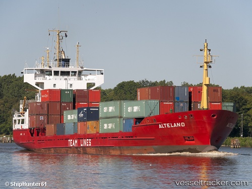
Vessel profile: Caribe Navigator is a General Cargo Ship with dimensions 100m x 17m.
This page combines live AIS, route history, probable destination signals, nearby traffic, and port activity for practical vessel monitoring.
The current position of vessel Caribe Navigator is 20.83167 lat / -86.88167 lng. Updated: 2026-05-12 15:53:39 UTCNearest reference points:
- Near Puerto Juárez
Currently sailing under the flag of Antigua Barbuda ![]()
Caribe Navigator built in 1995 year
Deadweight:
4602 tDetails:
Live Vessel Caribe Navigator Analytics (details, animations, etc.)
Recent AIS points (UTC):
2026-05-12 15:53:39 UTC · 20.83167, -86.88167 · SOG 6 kn · COG -1°2026-05-12 15:53:39 UTC · 20.83167, -86.88167 · SOG 6 kn · COG -1°
2026-05-12 15:53:39 UTC · 20.83167, -86.88167 · SOG 6 kn · COG -1°
2026-05-12 15:53:39 UTC · 20.83167, -86.88167 · SOG 6 kn · COG -1°