 vesseltracker.com
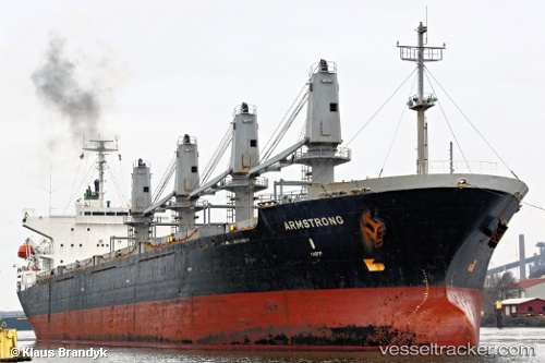
Lamar
Current StatusWhere is the vessel?
Lamar is currently in 57 nm SE of 'Adan, based on AIS data received less than 1h ago.
Latest AIS update:
Current position: 12.24798° N, 45.85474° E (57 nm SE of 'Adan)
Average speed (last 7 days): Loading…
Average speed (last 30 days): Loading…
Vessel profile: Lamar is a Bulk Carrier with dimensions 27m x 169m.
This page combines live AIS, route history, probable destination signals, nearby traffic, and port activity for practical vessel monitoring.
The current position of vessel Lamar is 12.24798 lat / 45.85474 lng. Updated: 2026-04-28 15:25:20 UTCDetails:
Live Vessel Lamar Analytics (details, animations, etc.)
Recent AIS points (UTC):
2026-04-28 11:42:40 UTC · 12.42500, 46.42333 · SOG 9 kn · COG -1°2026-04-28 13:00:10 UTC · 12.36500, 46.22500 · SOG 9 kn · COG -1°
2026-04-28 13:48:01 UTC · 12.32833, 46.10333 · SOG 9 kn · COG -1°
2026-04-28 15:25:20 UTC · 12.24798, 45.85474 · SOG 9.5 kn · COG 249°