 vesseltracker.com
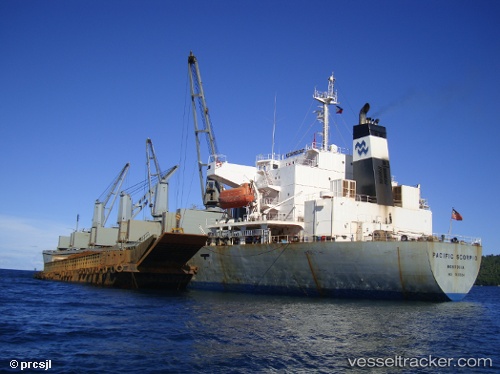
 TUNG TUAN 22
Current Status
Where is the vessel?
TUNG TUAN 22 is currently in 19 nm SE of Beihai Fucheng Apt, based on AIS data received about 1h ago.
Latest AIS update:
Current position: 21.26543° N, 109.45751° E (19 nm SE of Beihai Fucheng Apt)
Average speed (last 7 days): Loading…
Average speed (last 30 days): Loading…
Vessel profile: TUNG TUAN 22 is a Bulk Carrier with dimensions m x m.
This page combines live AIS, route history, probable destination signals, nearby traffic, and port activity for practical vessel monitoring.
The current position of vessel TUNG TUAN 22 is 21.26543 lat / 109.45751 lng. Updated: 2026-05-15 19:30:44 UTCNearest reference points:
- Near Beihai Pt
- Near Hepu
- Near Beihai
Currently sailing under the flag of Panama ![]()
Details:
Live Vessel TUNG TUAN 22 Analytics (details, animations, etc.)
Recent AIS points (UTC):
2026-05-15 16:57:46 UTC · 21.26458, 109.45753 · SOG 0 kn · COG 134°2026-05-15 17:39:44 UTC · 21.26491, 109.45789 · SOG 0 kn · COG 149°
2026-05-15 19:03:44 UTC · 21.26497, 109.45795 · SOG 0 kn · COG 150°
2026-05-15 19:30:44 UTC · 21.26543, 109.45751 · SOG 0 kn · COG 151°