 vesseltracker.com
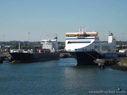
 Clipper Ranger
Current Status
Where is the vessel?
Clipper Ranger is currently in Near Petite-Riviere-Saint-Francois, based on AIS data received less than 1h ago.
Latest AIS update:
Current position: 47.21868° N, 70.57694° W (Near Petite-Riviere-Saint-Francois)
Average speed (last 7 days): Loading…
Average speed (last 30 days): Loading…
Vessel profile: Clipper Ranger is a Ro Ro Cargo Ship with dimensions 188m x 19m.
This page combines live AIS, route history, probable destination signals, nearby traffic, and port activity for practical vessel monitoring.
The current position of vessel Clipper Ranger is 47.21868 lat / -70.57694 lng. Updated: 2026-05-16 05:53:45 UTCNearest reference points:
- Near Ile Aux Coudres
- Near QUEBEC
- Near Cap-de-la-Madeleine
Currently sailing under the flag of Canada ![]()
Clipper Ranger built in 1998 year
Deadweight:
5758 tDetails:
Live Vessel Clipper Ranger Analytics (details, animations, etc.)
Recent AIS points (UTC):
2026-05-16 02:33:07 UTC · 46.74293, -71.30060 · SOG 16.6 kn · COG 73°2026-05-16 04:08:39 UTC · 46.93784, -70.85718 · SOG 13.9 kn · COG 34°
2026-05-16 04:13:45 UTC · 46.95457, -70.84148 · SOG 14.1 kn · COG 34°
2026-05-16 05:53:45 UTC · 47.21868, -70.57694 · SOG 9.1 kn · COG 39°