 vesseltracker.com
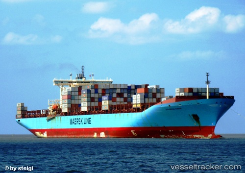
 MSC DOMNA X
Current Status
Where is the vessel?
MSC DOMNA X is currently in 41 nm E of NANTUCKET, based on AIS data received less than 1h ago.
Latest AIS update:
Current position: 41.15380° N, 69.20479° W (41 nm E of NANTUCKET)
Average speed (last 7 days): Loading…
Average speed (last 30 days): Loading…
Vessel profile: MSC DOMNA X is a Container Ship with dimensions m x m.
This page combines live AIS, route history, probable destination signals, nearby traffic, and port activity for practical vessel monitoring.
The current position of vessel MSC DOMNA X is 41.15380 lat / -69.20479 lng. Updated: 2026-05-14 22:02:52 UTCNearest reference points:
- 28 nm SE of East Harwich
- Near South Yarmouth
- Near Barnstable
Currently sailing under the flag of Liberia ![]()
Details:
Live Vessel MSC DOMNA X Analytics (details, animations, etc.)
Recent AIS points (UTC):
2026-05-14 19:19:51 UTC · 40.79454, -68.99269 · SOG 1.3 kn · COG 197°2026-05-14 20:20:51 UTC · 40.88213, -69.03035 · SOG 11.4 kn · COG 337°
2026-05-14 21:23:51 UTC · 41.05698, -69.14241 · SOG 9.9 kn · COG 332°
2026-05-14 22:02:52 UTC · 41.15380, -69.20479 · SOG 9.9 kn · COG 331°