 vesseltracker.com
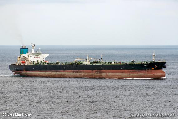
Agiri
Current StatusWhere is the vessel?
Agiri is currently in Near Yaren, based on AIS data received about 2h ago.
Latest AIS update:
Current position: 0.52750° S, 166.90965° E (Near Yaren)
Average speed (last 7 days): Loading…
Average speed (last 30 days): Loading…
Vessel profile: Agiri is a Crude Oil Tanker with dimensions 43m x 248m.
This page combines live AIS, route history, probable destination signals, nearby traffic, and port activity for practical vessel monitoring.
The current position of vessel Agiri is -0.52750 lat / 166.90965 lng. Updated: 2026-05-16 01:23:59 UTCDetails:
Live Vessel Agiri Analytics (details, animations, etc.)
Recent AIS points (UTC):
2026-05-15 22:17:45 UTC · -0.52747, 166.90965 · SOG 0 kn · COG -1°2026-05-16 00:11:57 UTC · -0.52749, 166.90965 · SOG 0 kn · COG -1°
2026-05-16 01:07:49 UTC · -0.52749, 166.90965 · SOG 0 kn · COG -1°
2026-05-16 01:23:59 UTC · -0.52750, 166.90965 · SOG 0 kn · COG -1°