 vesseltracker.com
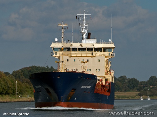
 AYSE TELLI
Current Status
Where is the vessel?
AYSE TELLI is currently in 15 nm N of SILE, based on AIS data received about 2h ago.
Latest AIS update:
Current position: 41.43218° N, 29.65119° E (15 nm N of SILE)
Average speed (last 7 days): Loading…
Average speed (last 30 days): Loading…
Vessel profile: AYSE TELLI is a Chemical/Oil Products Tanker with dimensions 16m x 99m.
This page combines live AIS, route history, probable destination signals, nearby traffic, and port activity for practical vessel monitoring.
The current position of vessel AYSE TELLI is 41.43218 lat / 29.65119 lng. Updated: 2026-05-14 15:13:56 UTCNearest reference points:
- 19 nm NE of RUMELI FENERI
- Near RUMELI FENERI
- 45 nm N of RUMELI FENERI
Currently sailing under the flag of Turkey ![]()
AYSE TELLI built in 1996 year
Deadweight:
5764 tDetails:
Live Vessel AYSE TELLI Analytics (details, animations, etc.)
Recent AIS points (UTC):
2026-05-14 13:36:15 UTC · 41.30109, 29.30986 · SOG 10.7 kn · COG 62°2026-05-14 13:53:08 UTC · 41.32463, 29.36949 · SOG 10.6 kn · COG 62°
2026-05-14 15:13:56 UTC · 41.43218, 29.65119 · SOG 10.5 kn · COG 62°
2026-05-14 15:13:56 UTC · 41.43218, 29.65119 · SOG 10.5 kn · COG 62°