 vesseltracker.com
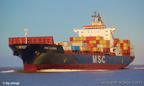
 Msc Alabama
Current Status
Where is the vessel?
Msc Alabama is currently in Near Genova, based on AIS data received less than 1h ago.
Latest AIS update:
Current position: 44.30284° N, 8.97122° E (Near Genova)
Average speed (last 7 days): Loading…
Average speed (last 30 days): Loading…
Vessel profile: Msc Alabama is a Container Ship with dimensions 242m x 32m.
This page combines live AIS, route history, probable destination signals, nearby traffic, and port activity for practical vessel monitoring.
The current position of vessel Msc Alabama is 44.30284 lat / 8.97122 lng. Updated: 2026-05-13 19:50:00 UTCNearest reference points:
- Near Genova
- Near Sestri Ponente
- 13 nm S of Genova
Currently sailing under the flag of Panama ![]()
Msc Alabama built in 1996 year
Deadweight:
42966 tDetails:
Live Vessel Msc Alabama Analytics (details, animations, etc.)
Recent AIS points (UTC):
2026-05-13 15:36:15 UTC · 43.97473, 8.76392 · SOG 0.8 kn · COG 151°2026-05-13 16:35:05 UTC · 43.98340, 8.74929 · SOG 0.8 kn · COG 104°
2026-05-13 17:29:35 UTC · 43.99442, 8.74053 · SOG 0.8 kn · COG 126°
2026-05-13 19:50:00 UTC · 44.30284, 8.97122 · SOG 12.2 kn · COG 20°