 vesseltracker.com
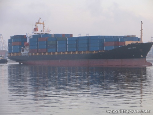
 HR FARHA
Current Status
Where is the vessel?
HR FARHA is currently in 84 nm SW of Cox's Bazar, based on AIS data received about 1h ago.
Latest AIS update:
Current position: 20.40167° N, 90.96667° E (84 nm SW of Cox's Bazar)
Average speed (last 7 days): Loading…
Average speed (last 30 days): Loading…
Vessel profile: HR FARHA is a Container Ship with dimensions 28m x 185m.
This page combines live AIS, route history, probable destination signals, nearby traffic, and port activity for practical vessel monitoring.
The current position of vessel HR FARHA is 20.40167 lat / 90.96667 lng. Updated: 2026-05-02 15:16:21 UTCNearest reference points:
- 36 nm SE of Cox's Bazar
- 23 nm NW of Cox's Bazar
- Near Chittagong
Currently sailing under the flag of Bangladesh ![]()
HR FARHA built in 1996 year
Deadweight:
24657 tDetails:
Live Vessel HR FARHA Analytics (details, animations, etc.)
Recent AIS points (UTC):
2026-05-02 11:31:25 UTC · 20.99667, 91.44667 · SOG 12 kn · COG -1°2026-05-02 13:19:20 UTC · 20.70667, 91.21500 · SOG 11 kn · COG -1°
2026-05-02 13:19:20 UTC · 20.70667, 91.21500 · SOG 11 kn · COG -1°
2026-05-02 15:16:21 UTC · 20.40167, 90.96667 · SOG 12 kn · COG -1°