 vesseltracker.com
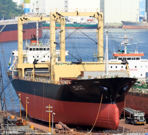
 YOUSSEF BEY
Current Status
Where is the vessel?
YOUSSEF BEY is currently in 66 nm N of Hamra, based on AIS data received less than 1h ago.
Latest AIS update:
Current position: 32.02500° N, 28.47667° E (66 nm N of Hamra)
Average speed (last 7 days): Loading…
Average speed (last 30 days): Loading…
Vessel profile: YOUSSEF BEY is a General Cargo with dimensions m x m.
This page combines live AIS, route history, probable destination signals, nearby traffic, and port activity for practical vessel monitoring.
The current position of vessel YOUSSEF BEY is 32.02500 lat / 28.47667 lng. Updated: 2026-05-13 22:38:01 UTCNearest reference points:
- 28 nm N of Hamra
- 129 nm NW of ABU QIR
- 13 nm W of EL DEKHEILA
Currently sailing under the flag of Lebanon ![]()
Details:
Live Vessel YOUSSEF BEY Analytics (details, animations, etc.)
Recent AIS points (UTC):
2026-05-13 18:49:59 UTC · 32.32833, 27.94667 · SOG 8 kn · COG -1°2026-05-13 18:49:59 UTC · 32.32833, 27.94667 · SOG 8 kn · COG -1°
2026-05-13 21:28:58 UTC · 32.11667, 28.31500 · SOG 8 kn · COG -1°
2026-05-13 22:38:01 UTC · 32.02500, 28.47667 · SOG 8 kn · COG -1°