 vesseltracker.com
 Gulf Blue
Current Status
Where is the vessel?
Gulf Blue is currently in 14 nm E of Donousa Kykladon, based on AIS data received less than 1h ago.
Latest AIS update:
Current position: 37.18723° N, 26.07824° E (14 nm E of Donousa Kykladon)
Average speed (last 7 days): Loading…
Average speed (last 30 days): Loading…
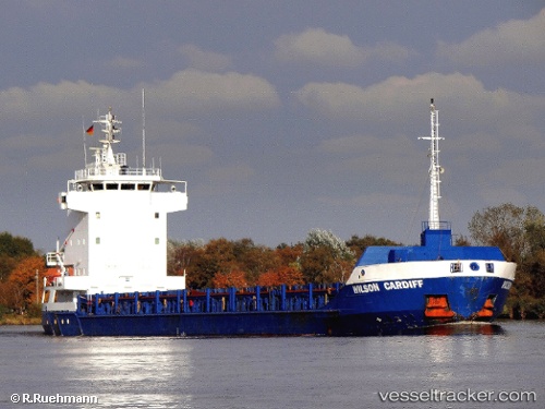
Vessel profile: Gulf Blue is a Multi Purpose Carrier with dimensions 100m x 13m.
This page combines live AIS, route history, probable destination signals, nearby traffic, and port activity for practical vessel monitoring.
The current position of vessel Gulf Blue is 37.18723 lat / 26.07824 lng. Updated: 2026-05-13 11:22:51 UTCNearest reference points:
- Near Aigiali Amorgou
- 18 nm SW of PATMOS
- Near PATMOS
Currently sailing under the flag of Antigua Barbuda ![]()
Gulf Blue built in 1997 year
Deadweight:
4444 tDetails:
Live Vessel Gulf Blue Analytics (details, animations, etc.)
Recent AIS points (UTC):
2026-05-13 07:15:52 UTC · 37.89267, 25.68817 · SOG 11.3 kn · COG 140°2026-05-13 10:02:32 UTC · 37.42867, 25.96017 · SOG 11.6 kn · COG 157°
2026-05-13 11:08:52 UTC · 37.22727, 26.05770 · SOG 11.2 kn · COG 158°
2026-05-13 11:22:51 UTC · 37.18723, 26.07824 · SOG 11.1 kn · COG 158°