 vesseltracker.com
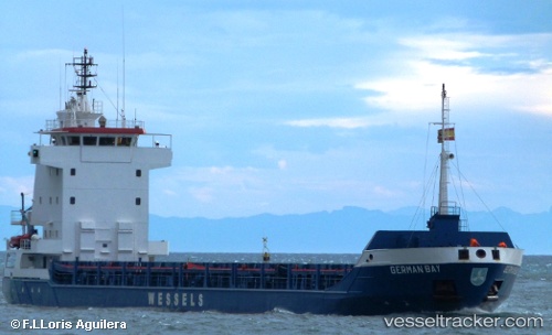
 AGATTU
Current Status
Where is the vessel?
AGATTU is currently in 29 nm NW of Charlotteville, based on AIS data received less than 1h ago.
Latest AIS update:
Current position: 11.68106° N, 60.87290° W (29 nm NW of Charlotteville)
Average speed (last 7 days): Loading…
Average speed (last 30 days): Loading…
Vessel profile: AGATTU is a General Cargo with dimensions m x m.
This page combines live AIS, route history, probable destination signals, nearby traffic, and port activity for practical vessel monitoring.
The current position of vessel AGATTU is 11.68106 lat / -60.87290 lng. Updated: 2026-05-14 15:28:23 UTCNearest reference points:
- Near St. Georges
- Near ST GEORGES
- 16 nm SW of Carriacou Apt
Currently sailing under the flag of Gambia ![]()
Details:
Live Vessel AGATTU Analytics (details, animations, etc.)
Recent AIS points (UTC):
2026-05-14 11:50:25 UTC · 11.67333, -60.47667 · SOG 7 kn · COG -1°2026-05-14 13:23:59 UTC · 11.68333, -60.65500 · SOG 7 kn · COG -1°
2026-05-14 13:39:02 UTC · 11.68167, -60.68333 · SOG 6 kn · COG -1°
2026-05-14 15:28:23 UTC · 11.68106, -60.87290 · SOG 5.3 kn · COG 267°