 vesseltracker.com
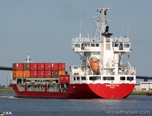
 Marjatta
Current Status
Where is the vessel?
Marjatta is currently in 35 nm N of Strå, based on AIS data received less than 1h ago.
Latest AIS update:
Current position: 58.44783° N, 18.69233° E (35 nm N of Strå)
Average speed (last 7 days): Loading…
Average speed (last 30 days): Loading…
Vessel profile: Marjatta is a Multi Purpose Carrier with dimensions 120m x 18m.
This page combines live AIS, route history, probable destination signals, nearby traffic, and port activity for practical vessel monitoring.
The current position of vessel Marjatta is 58.44783 lat / 18.69233 lng. Updated: 2026-05-14 22:01:00 UTCNearest reference points:
- Near NOTTNAS
- Near Gustavsvik/Stockholm
- Near Värmdö
Currently sailing under the flag of Finland ![]()
Marjatta built in 1996 year
Deadweight:
6410 tDetails:
Live Vessel Marjatta Analytics (details, animations, etc.)
Recent AIS points (UTC):
2026-05-14 17:25:59 UTC · 59.34950, 19.73850 · SOG 14 kn · COG 213°2026-05-14 19:16:06 UTC · 58.99833, 19.31450 · SOG 14 kn · COG 212°
2026-05-14 19:54:05 UTC · 58.87400, 19.16933 · SOG 13.9 kn · COG 211°
2026-05-14 22:01:00 UTC · 58.44783, 18.69233 · SOG 14.1 kn · COG 212°