 vesseltracker.com
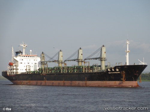
Rui Chang Hai
Current StatusWhere is the vessel?
Rui Chang Hai is currently in Near Haicang, based on AIS data received about 104d ago.
Latest AIS update:
Current position: 24.45316° N, 117.95153° E (Near Haicang)
Average speed (last 7 days): Loading…
Average speed (last 30 days): Loading…
Vessel profile: Rui Chang Hai is a Bulk Carrier with dimensions 26m x 175m.
This page combines live AIS, route history, probable destination signals, nearby traffic, and port activity for practical vessel monitoring.
The current position of vessel Rui Chang Hai is 24.45316 lat / 117.95153 lng. Updated: 2026-01-18 18:28:36 UTCNearest reference points:
- Near Haicang
- Near ZHANGZHOU
- Near LONGHAI
Details:
Live Vessel Rui Chang Hai Analytics (details, animations, etc.)
Recent AIS points (UTC):
2026-01-18 18:28:36 UTC · 24.45316, 117.95153 · SOG 0 kn · COG 315°