 vesseltracker.com
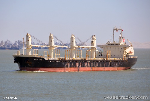
 HACI HUSEYIN
Current Status
Where is the vessel?
HACI HUSEYIN is currently in 82 nm NE of Mitsiwa, based on AIS data received about 1h ago.
Latest AIS update:
Current position: 16.28954° N, 40.71198° E (82 nm NE of Mitsiwa)
Average speed (last 7 days): Loading…
Average speed (last 30 days): Loading…
Vessel profile: HACI HUSEYIN is a Cargo with dimensions m x m.
This page combines live AIS, route history, probable destination signals, nearby traffic, and port activity for practical vessel monitoring.
The current position of vessel HACI HUSEYIN is 16.28954 lat / 40.71198 lng. Updated: 2026-04-30 08:48:57 UTCNearest reference points:
- 92 nm SW of Al Qahmah
- 81 nm NW of As Salif
- Near Jazan Economic City
Currently sailing under the flag of Sao Tome and Principe ![]()
Details:
Live Vessel HACI HUSEYIN Analytics (details, animations, etc.)
Recent AIS points (UTC):
2026-04-30 03:57:55 UTC · 16.28953, 40.71200 · SOG 0.1 kn · COG 325°2026-04-30 03:57:55 UTC · 16.28953, 40.71200 · SOG 0.1 kn · COG 325°
2026-04-30 03:57:55 UTC · 16.28953, 40.71200 · SOG 0.1 kn · COG 325°
2026-04-30 08:48:57 UTC · 16.28954, 40.71198 · SOG 0.2 kn · COG 333°