 vesseltracker.com
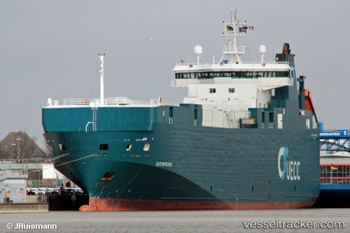
 FINO
FINO
Current Status
Where is the vessel?
FINO is currently in 15 nm E of Kashima Ko, based on AIS data received less than 1h ago.
Latest AIS update:
Current position: 36.06833° N, 141.00166° E (15 nm E of Kashima Ko)
Average speed (last 7 days): Loading…
Average speed (last 30 days): Loading…
Vessel profile: FINO is a Vehicles Carrier with dimensions m x m.
This page combines live AIS, route history, probable destination signals, nearby traffic, and port activity for practical vessel monitoring.
The current position of vessel FINO is 36.06833 lat / 141.00166 lng. Updated: 2026-05-01 15:57:18 UTCNearest reference points:
- 12 nm E of CHOSHI
- Near KASHIMA
- Near Mito
Currently sailing under the flag of Antigua and Barbuda ![]()
Details:
Live Vessel FINO Analytics (details, animations, etc.)
Recent AIS points (UTC):
2026-05-01 13:51:14 UTC · 35.65598, 140.94377 · SOG 11.6 kn · COG 21°2026-05-01 13:56:44 UTC · 35.67267, 140.95309 · SOG 12.1 kn · COG 21°
2026-05-01 15:36:20 UTC · 35.99833, 140.99667 · SOG 12 kn · COG -1°
2026-05-01 15:57:18 UTC · 36.06833, 141.00166 · SOG 12 kn · COG -1°