 vesseltracker.com
 MINCHAH
Current Status
Where is the vessel?
MINCHAH is currently in 46 nm SE of Fisher Island, Miami, based on AIS data received about 1h ago.
Latest AIS update:
Current position: 25.45297° N, 79.35932° W (46 nm SE of Fisher Island, Miami)
Average speed (last 7 days): Loading…
Average speed (last 30 days): Loading…
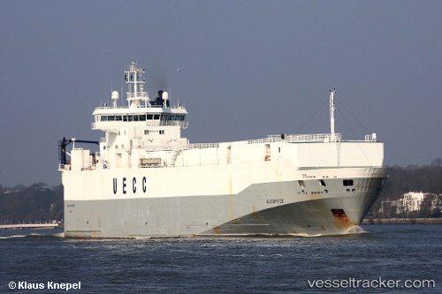
Vessel profile: MINCHAH is a Vehicles Carrier with dimensions 18m x 125m.
This page combines live AIS, route history, probable destination signals, nearby traffic, and port activity for practical vessel monitoring.
The current position of vessel MINCHAH is 25.45297 lat / -79.35932 lng. Updated: 2026-05-16 13:54:37 UTCNearest reference points:
- 44 nm E of Surfside
- 44 nm S of Freeport
- Near Fisher Island, Miami
Currently sailing under the flag of Panama ![]()
MINCHAH built in 1997 year
Deadweight:
4442 tDetails:
Live Vessel MINCHAH Analytics (details, animations, etc.)
Recent AIS points (UTC):
2026-05-16 10:26:55 UTC · 25.92629, -79.73801 · SOG 10.6 kn · COG 131°2026-05-16 11:28:16 UTC · 25.81621, -79.59326 · SOG 9.6 kn · COG 145°
2026-05-16 13:47:37 UTC · 25.47537, -79.36597 · SOG 12 kn · COG 166°
2026-05-16 13:54:37 UTC · 25.45297, -79.35932 · SOG 11.9 kn · COG 163°